Welsh principal councilCurrentW06000023
Powys
Powys is a welsh principal council in Wales. It covers 5,180.7 km² and had 132,447 residents in 2018 — about 26 people per km².
Town hall in the administrative centrePowys County Council Offices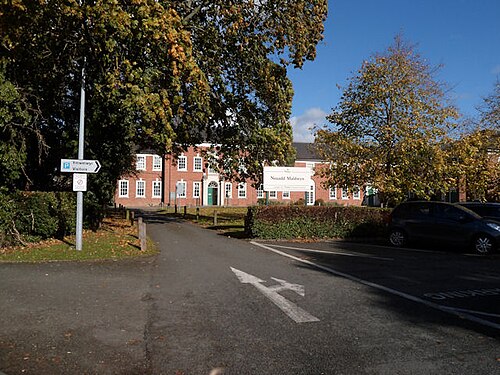
Photo: John Firth · CC BY-SA 2.0 · Wikimedia Commons
People
Population
Estimates recorded for Powys, 2001–2018.
Residents, 2018132,447+4.8% since 2001
Land area5,180.7km²2,000.3 sq mi
Density26/ km²people per square kilometre
Rank by population#238of 382 UK councils · #11 in Wales
Population estimates3 data points
126.3K133K132.4K
200120112018
Borders
Neighbouring councils
HHerefordshireUnitary authorityCCeredigionWelsh principal councilMMonmouthshireWelsh principal councilDDenbighshireWelsh principal councilCCarmarthenshireWelsh principal councilGGwyneddWelsh principal councilRRhondda Cynon TafWelsh principal councilSShropshireUnitary authorityBBlaenau GwentWelsh principal councilCCaerphilly County BoroughWelsh principal councilMMerthyr Tydfil County BoroughWelsh principal councilNNeath Port TalbotWelsh principal councilWWrexham County BoroughWelsh principal council
Same region, same type
All councils in WalesOther welsh principal councils in Wales
Elections
60 electoral wards
Census 2021: 133,176 residents in 60,179 households across the wards; 27.9% aged 65+, 67.6% of homes owned, 13.1% of households without a car.
1Newtown Central and South2,147 households · 14.9% aged 65+5,1662Brecon West1,858 households · 20.1% aged 65+4,2303Llanidloes2,018 households · 28.7% aged 65+4,1814Brecon East1,857 households · 29.2% aged 65+4,0265Aber-craf and Ystradgynlais1,837 households · 24.7% aged 65+3,9846Knighton with Beguildy1,695 households · 30.4% aged 65+3,603
Visit
Council offices
Offices, town halls and local council offices in the area.
Westminster
Constituencies
Source: Wikidata Q156150 (CC0)Figures as recorded with their reference year; boundaries may have changed since.