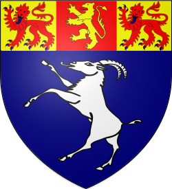
Welsh principal councilCurrentW06000002
Gwynedd
Gwynedd is a welsh principal council in Wales. It covers 2,534.9 km² and had 124,560 residents in 2019 — about 49 people per km². The authority dates from 1996. The council is based in Caernarfon.
Town hall in the administrative centreCounty Hall, Dolgellau, Caernarfon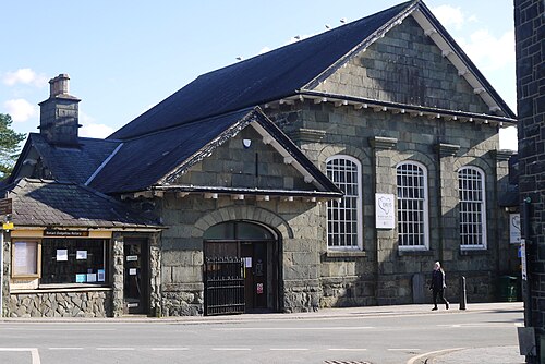
Photo: Peter Broster · CC0 · Wikimedia Commons
People
Population
Estimates recorded for Gwynedd, 2001–2019.
Residents, 2019124,560+6.6% since 2001
Land area2,534.9km²978.7 sq mi
Density49/ km²people per square kilometre
Rank by population#253of 382 UK councils · #14 in Wales
Population estimates4 data points
116.8K121.9K124.2K124.6K
2001201120182019
History
How the council came to be
- 1996Created
Gwynedd became a local authority area.
Same region, same type
All councils in WalesOther welsh principal councils in Wales
Elections
65 electoral wards
Census 2021: 117,397 residents in 51,108 households across the wards; 23.2% aged 65+, 65.4% of homes owned, 17.7% of households without a car.
1Canol Bangor1,901 households · 8.2% aged 65+6,7082Dwyrain Bangor1,948 households · 11.9% aged 65+4,6753Bethel a'r Felinheli1,600 households · 21.5% aged 65+3,6454Peblig1,144 households · 11.4% aged 65+2,7605Harlech a Llanbedr1,348 households · 35.4% aged 65+2,7156Y Faenol1,049 households · 19.3% aged 65+2,590
Visit
Council offices
Offices, town halls and local council offices in the area.
CCyngor GwyneddCouncil office · Caernarfon LL55 1SH · hours listedTCyngor Tref CricciethTown council · Criccieth LL52 0RNTCyngor Tref Ffestiniog | Ffestiniog Town CouncilTown council · Blaenau Ffestiniog LL41 3UF · hours listed
Westminster
Constituencies
Source: Wikidata Q109128 (CC0)Figures as recorded with their reference year; boundaries may have changed since.