- Home
- Councils
- Welsh principal councils
- Flintshire
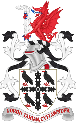
Welsh principal councilCurrentW06000005
Flintshire
Sir y Fflint
Flintshire is a welsh principal council in Wales. It covers 437.5 km² and had 155,593 residents in 2018 — about 356 people per km². The authority dates from 1996.
People
Population
Estimates recorded for Flintshire, 2001–2018.
Residents, 2018155,593+4.7% since 2001
Land area437.5km²168.9 sq mi
Density356/ km²people per square kilometre
Rank by population#179of 382 UK councils · #7 in Wales
Population estimates3 data points
148.6K152.5K155.6K
200120112018
History
How the council came to be
- 1996Created
Formed from Clwyd.
Abroad
Twinned with
Menden (Sauerland)Murata
Borders
Neighbouring councils
Same region, same type
All councils in WalesOther welsh principal councils in Wales
Elections
45 electoral wards
Census 2021: 154,965 residents in 66,910 households across the wards; 21.4% aged 65+, 71.8% of homes owned, 14.6% of households without a car.
1Flint: Coleshill and Trelawny3,460 households · 22.4% aged 65+8,0532Argoed and New Brighton2,456 households · 28.1% aged 65+5,6263Hawarden: Ewloe2,283 households · 20.6% aged 65+5,5024Buckley: Pentrobin2,311 households · 22.1% aged 65+5,3035Queensferry and Sealand2,281 households · 15.7% aged 65+5,2526Connah's Quay: Golftyn2,139 households · 14.3% aged 65+5,243
Visit
Council offices
Offices, town halls and local council offices in the area.
CBwcle Sir y Fflint yn Cysylltu | Flintshire Connects BuckleyCouncil office · Buckley CH7 2EF · hours listedTFlint Town HallTown hall · Flint CH6 5NW · hours listed
Westminster
Constituencies
Source: Wikidata Q505610 (CC0)Figures as recorded with their reference year; boundaries may have changed since.