- Home
- Councils
- Unitary authorities
- Northumberland
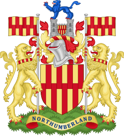
Unitary authorityCurrentE06000057
Northumberland County Council
Local authority area: Northumberland
Northumberland is an unitary authority, in the North East England region of England. It covers 5,013.8 km² and had 324,362 residents in 2022 — about 65 people per km².
People
Population
Estimates recorded for Northumberland, 2012–2022.
Residents, 2022324,362+2.6% since 2012
Land area5,013.8km²1,935.8 sq mi
Density65/ km²people per square kilometre
Rank by population#66of 382 UK councils · #60 in England
Population estimates5 data points
316.1K315.3K320.3K323.8K324.4K
20122015201820202022
History
How the council came to be
- —Predecessors
Tynedale, Borough of Berwick-upon-Tweed, Blyth Valley, Castle Morpeth, Wansbeck, Alnwick
Borders
Neighbouring councils
Same region, same type
All councils in North EastOther unitary authorities in North East
Elections
69 electoral wards
Census 2021: 320,571 residents in 146,925 households across the wards; 25.4% aged 65+, 65.2% of homes owned, 19.7% of households without a car.
Visit
Council offices
Offices, town halls and local council offices in the area.
TBellingham Town HallTown hall · Hexham NE48 2AH · hours listedPBroomhaugh & Riding Parish CouncilParish council · Riding Mill NE44 6DP · hours listedPStocksfield Parish CouncilParish council · Stocksfield NE43 7HLPWylam Parish CouncilParish council · Wylam NE41 8AP
Westminster
Constituencies
Source: Wikidata Q23079 (CC0)Figures as recorded with their reference year; boundaries may have changed since.