1. Home
  2. Councils
  3. Metropolitan boroughs
  4. Newcastle upon Tyne
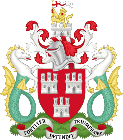
Emblem of Newcastle City Council
Emblem: Unknown author · CC BY-SA 4.0 · Wikimedia Commons
Metropolitan boroughCurrentE08000021

Newcastle City Council

Local authority area: Newcastle upon Tyne

Newcastle upon Tyne is a metropolitan borough, in the North East England region of England. It covers 113.5 km² and had 320,605 residents in 2024 — about 2,826 people per km². The authority dates from 1974. The council is based in Newcastle upon Tyne.

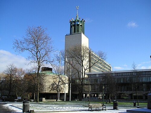
Council headquartersNewcastle Civic Centre
Newcastle Civic Centre
Photo: The original uploader was Bob Castle at English Wikipedia . · CC BY-SA 3.0 · Wikimedia Commons
People

Population

Estimates recorded for Newcastle upon Tyne, 1971–2024.

Residents, 2024320,605+5.1% since 1971
Land area113.5km²43.8 sq mi
Density2,826/ km²people per square kilometre
Rank by population#68of 382 UK councils · #62 in England
Population estimates10 data points
305K271.4K260.8K259.6K280.2K282.4K292.9K300.2K307.6K320.6K
1971198119912001201120122015201820222024
History

How the council came to be

  1. 1974
    Created

    Formed from Castle Ward Rural District, Newburn Urban District, Gosforth Urban District, County Borough of Newcastle upon Tyne, Moot Hall and Precincts Rural District.
Borders

Neighbouring councils

Source: Wikidata Q21012735 (CC0)Figures as recorded with their reference year; boundaries may have changed since.