- Home
- Councils
- Unitary authorities
- North Yorkshire
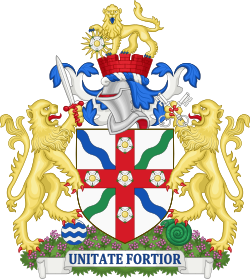
Unitary authorityCurrentE06000065
North Yorkshire Council
Local authority area: North Yorkshire
North Yorkshire is an unitary authority, in the North East England region of England. It covers 8,037.7 km² and had 623,501 residents in 2022 — about 78 people per km².
Town hall in the administrative centreHarrogate Council Offices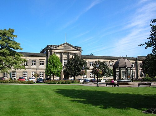
Photo: DS Pugh · CC BY-SA 2.0 · Wikimedia Commons
People
Population
Estimates recorded for North Yorkshire, 2012–2022.
Residents, 2022623,501+3.5% since 2012
Land area8,037.7km²3,103.4 sq mi
Density78/ km²people per square kilometre
Rank by population#22of 382 UK councils · #21 in England
Population estimates3 data points
602.6K614.5K623.5K
201220182022
Same region, same type
All councils in North EastOther unitary authorities in North East
Elections
89 electoral wards
Census 2021: 615,912 residents in 274,572 households across the wards; 25.0% aged 65+, 68.6% of homes owned, 15.7% of households without a car.
1Selby West4,538 households · 20.4% aged 65+10,0852Killinghall, Hampsthwaite & Saltergate3,740 households · 15.8% aged 65+9,8983Hipswell & Colburn3,436 households · 8.4% aged 65+9,8974Monk Fryston & South Milford3,885 households · 21.0% aged 65+8,7885Sherburn in Elmet3,651 households · 16.7% aged 65+8,5696Wathvale & Bishop Monkton3,592 households · 23.7% aged 65+8,548
Visit
Council offices
Offices, town halls and local council offices in the area.
CNorth Yorkshire CouncilCouncil office · Scarborough YO11 2HG · hours listedCWilson Energy AssessorsCouncil office · Scarborough YO11 3EDTMasham Town HallTown hall · Ripon HG4 4DYTThe Devonshire Institute - Town HallTown hall · Skipton BD23 5AZ · hours listedTKirkbymoorside Town CouncilTown council · York YO62 6AY
Westminster
Constituencies
Source: Wikidata Q21241814 (CC0)Figures as recorded with their reference year; boundaries may have changed since.