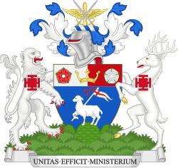
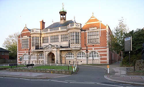
London Borough of Barnet is a london borough, in the Greater London region of England. It covers 86.8 km² and had 389,101 residents in 2022 — about 4,485 people per km². The authority dates from 1965. The council is based in Hendon.
Estimates recorded for London Borough of Barnet, 2012–2022.
Residents, 2022389,101+6.9% since 2012
Land area86.8km²33.5 sq mi
Density4,485/ km²people per square kilometre
Rank by population#42of 382 UK councils · #40 in England
Population estimates4 data points
364K379.7K392.1K389.1K
2012201520182022
History
How the council came to be
1965
Created
Formed from Friern Barnet Urban District, Barnet Urban District, Municipal Borough of Finchley, East Barnet Urban District, Municipal Borough of Hendon.