- Home
- Councils
- District councils
- Canterbury
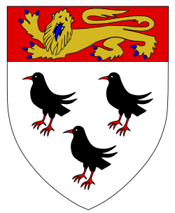
District councilCurrentE07000106
Canterbury City Council
Local authority area: Canterbury
Canterbury is a district council in Kent, in the South East England region of England. It covers 308.9 km² and had 157,550 residents in 2022 — about 510 people per km². The authority dates from 1974. The council is based in Canterbury.
People
Population
Estimates recorded for Canterbury, 2012–2022.
Residents, 2022157,550+2.7% since 2012
Land area308.9km²119.3 sq mi
Density510/ km²people per square kilometre
Rank by population#174of 382 UK councils · #153 in England
Population estimates4 data points
153.4K160K164.6K157.6K
2012201520182022
History
How the council came to be
- 1974Created
Canterbury became a local authority area.
Elections
21 electoral wards
Census 2021: 157,424 residents in 63,792 households across the wards; 21.8% aged 65+, 64.8% of homes owned, 20.8% of households without a car.
Visit
Council offices
Offices, town halls and local council offices in the area.
THerne CentreTown hall · Herne Bay CT6 7AP · hours listedPBlean Parish CouncilParish council · Canterbury CT2 9JA
Westminster
Constituencies
Source: Wikidata Q1094104 (CC0)Figures as recorded with their reference year; boundaries may have changed since.