1. Home
  2. Councils
  3. District councils
  4. Barrow-in-Furness
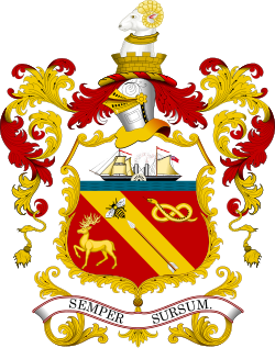
Emblem of Barrow-in-Furness Borough Council
Emblem: Hogweard · Public domain · Wikimedia Commons
District councilAbolished 2023E07000027

Barrow-in-Furness Borough Council

Local authority area: Barrow-in-Furness

Barrow-in-Furness is a district council in Cumbria, in the North West England region of England. It covers 78.0 km² and had 67,137 residents in 2018 — about 861 people per km². It was abolished in 2023 and its services passed to Westmorland and Furness. The council is based in Barrow-in-Furness.
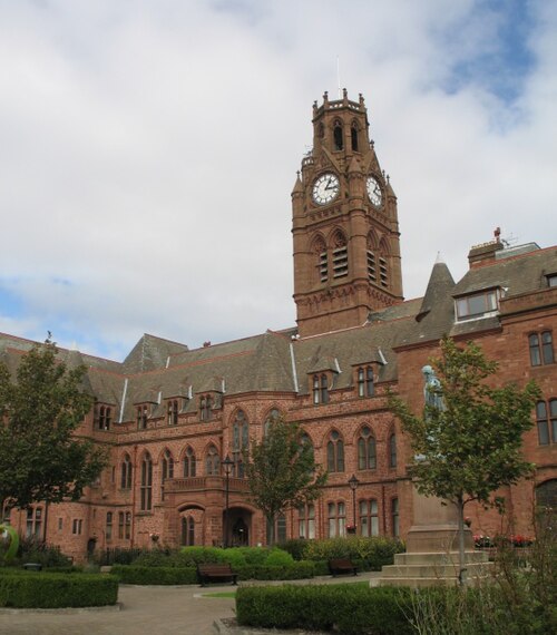
Town hall in the administrative centreBarrow-in-Furness Town Hall
Barrow-in-Furness Town Hall
Photo: Ian Petticrew · CC BY-SA 2.0 · Wikimedia Commons
People

Population

Estimates recorded for Barrow-in-Furness, 2012–2018.

Residents, 201867,137-1.8% since 2012
Land area78.0km²30.1 sq mi
Density861/ km²people per square kilometre
Population estimates3 data points
68.4K67.5K67.1K
201220152018
History

How the council came to be

  1. 2023
    Abolished

    Replaced by Westmorland and Furness.

  2. 1974
    Created

    Barrow-in-Furness became a local authority area.

Source: Wikidata Q894075 (CC0)Figures as recorded with their reference year; boundaries may have changed since.