- Home
- Councils
- Northern Ireland districts
- Fermanagh and Omagh
Northern Ireland districtCurrentN09000006
Fermanagh and Omagh District Council
Local authority area: Fermanagh and Omagh · Fear Manach agus an Ómaigh
Fermanagh and Omagh is a northern ireland district in Northern Ireland. It covers 2,856.5 km² and had 117,687 residents in 2024 — about 41 people per km². The authority dates from 2015. The council is based in Enniskillen.
Town hall in the administrative centreCounty Buildings, Enniskillen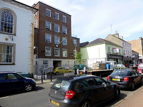
Photo: Kenneth Allen · CC BY-SA 2.0 · Wikimedia Commons
People
Population
Estimates recorded for Fermanagh and Omagh, 2018–2024.
Residents, 2024117,687+0.7% since 2018
Land area2,856.5km²1,102.9 sq mi
Density41/ km²people per square kilometre
Rank by population#267of 382 UK councils · #11 in Northern Ireland
History
How the council came to be
- 2015Created
Fermanagh and Omagh became a local authority area.
Same region, same type
All councils in Northern IrelandOther northern ireland districts in Northern Ireland
Elections
40 electoral wards
Westminster
Constituencies
Source: Wikidata Q5444365 (CC0)Figures as recorded with their reference year; boundaries may have changed since.