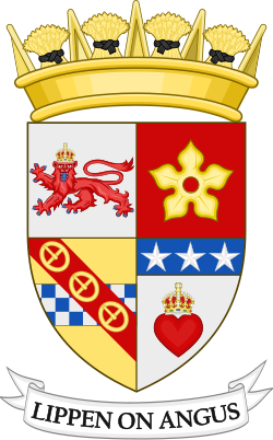
Scottish council areaCurrentS12000041
Angus Council
Local authority area: Angus · Aonghas
Angus is a scottish council area in Scotland. It covers 2,181.6 km² and had 115,820 residents in 2020 — about 53 people per km². The authority dates from 1996. The council is based in Forfar.
People
Population
Estimates recorded for Angus, 2001–2020.
Residents, 2020115,820+6.9% since 2001
Land area2,181.6km²842.3 sq mi
Density53/ km²people per square kilometre
Rank by population#273of 382 UK councils · #17 in Scotland
Population estimates19 data points
112.5K113.5K114.5K114.8K115.4K116.2K116.2K116.3K116.7K116.9K116.5K116.3K116K115.8K
20062007200820092010201120122013201420152016201720182020
History
How the council came to be
- 1996Created
Angus became a local authority area.
Same region, same type
All councils in ScotlandOther scottish council areas in Scotland
Elections
8 electoral wards
Westminster
Constituencies
Source: Wikidata Q202177 (CC0)Figures as recorded with their reference year; boundaries may have changed since.